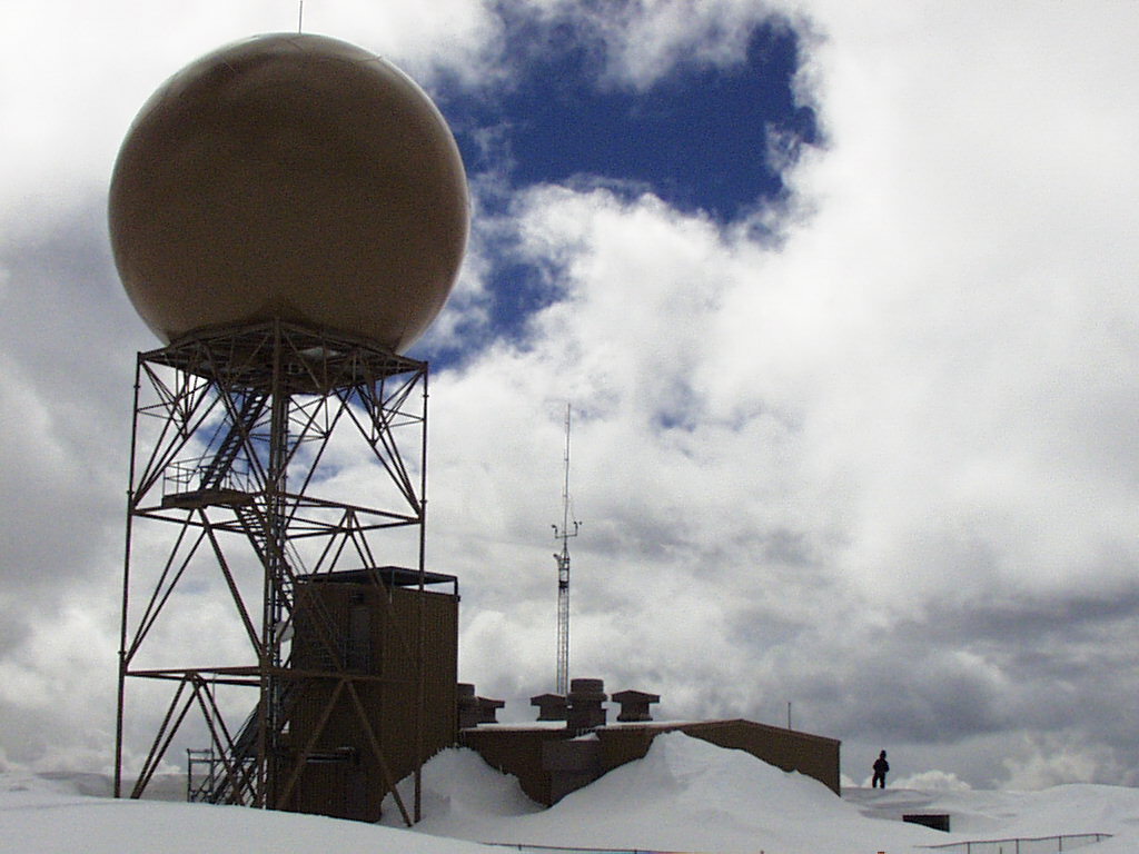

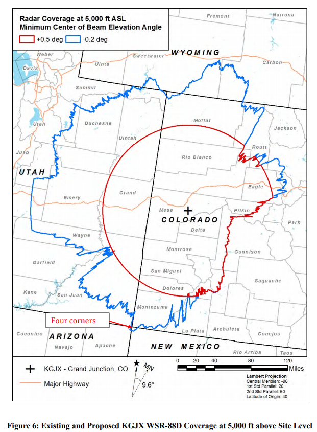
Have you ever wondered why the weather forecast in Gunnison is so inaccurate? In the Rocky Mountain West, weather radar is obstructed by towering mountain peaks. The systems that detect atmospheric shifts require line of sight to collect the data used to predict weather. The nearest National Weather Service radar station is in Grand Junction, about 85 miles away from Crested Butte and 130 miles from Gunnison, with towering mountains in the way.
When obstructed, radar can only measure atmospheric conditions around 10,000 feet and above, severely limiting the accuracy of weather forecasts. Any Gunnison County local can testify to the accuracy – or lack thereof – of weather forecasts. These communities are subject to turbulent atmospheric systems that weather forecasts rarely predict accurately.
“It’s not a tool that we rely on because it doesn’t have a lot of value,” said Evan Ross, a forecaster for the Crested Butte Avalanche Center since 2014. “Perhaps if we had an accurate weather radar, we could see when the forecast is overshooting or undershooting. But inevitably, we have to just rely on forecasts and then what gets measured on the ground.”
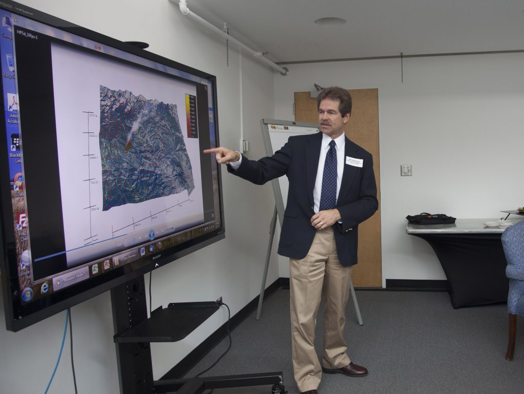
This may soon change, however. Several groups have been working for years to bring a weather radar to the Gunnison Valley to fill this gap in coverage, led by the Upper Gunnison River Water Conservation District. Once completed, this radar could provide the low-altitude atmospheric readings needed to provide more accurate weather forecasts. Bill Mahoney, associate director emeritus at the National Center for Atmospheric Research (NCAR), was a major contributor to this project.
“There’s probably 25 major uses that the radar data are being used for where it’s available that the weather service never even contemplated when they started, which makes it quite invaluable,” said Mahoney,
Mahoney expounded on the many benefits the new radar system will bring. Locally based weather radar systems will be more accurate than measuring snowfall at snow gauge sites, and aid in predicting avalanche danger levels. In the spring, it could predict how much water will enter rivers from snowmelt, which is vital for fire danger prediction. Windshear gauging, thunderstorm detection, and pinpointing areas of high lightning activity would help firefighting organizations find ignition locations from strikes. More accurate data can also help utility companies judge where to cut power so downed lines don’t start fires, as with the Eaton fire that ravaged Los Angeles in early 2025.
Inability to forecast violent, unexpected weather events has serious public safety ramifications. In May of 2020, two children, ages 3 and 7, died in a flash flood in a slot canyon in Utah. Inclement weather can show up unexpectedly in the canyonlands, turning slot canyons into death traps. After this event, Vern Tharp, the co-founder of the Western Water and Weather Intelligence Center (W3IC), which was also working on the Gunnison radar issue, worked with then-Representative for Utah’s 3rd District, John R. Curtis, now a U.S. senator., They petitioned NOAA Administrator Richard Spinrad for a $2 million federal appropriation to NOAA to expand radar coverage in the Rocky Mountain states.
The Colorado River District, the Upper Gunnison River Water Conservancy District and the Western States Water Council also signed letters of support for Curtis’s plea, arguing that current radar systems were limited by the need for line-of-sight for data collection, and that improved gap radar coverage in the Rocky Mountains is crucial both for public safety and a whole host of public services.
Ultimately, Spinrad did not agree to improve upon the gaps in radar coverage. In his response letter to Curtis, he said, “to fully cover the mountainous areas would not be cost effective,” and that current weather detection systems were sufficient to forecast weather and provide warnings for violent weather events.
In lieu of help from NOAA, W3IC continued its work to bring a dedicated radar system to the Gunnison Valley. Vern Tharp said that once this system is completed, it will provide higher-fidelity weather data to local forecasting organizations, providing weather prediction accuracy and public safety benefits to the community.
“Today’s changing weather patterns are bringing the reality of more fires and less water. It is critical to better manage both of those,” Tharp said. “It is very difficult to manage what you can’t measure and forecast.”
Through funding from the Colorado Wildlife Foundation, Tharp and his partners raised around $850,000 to lease land from the Bureau of Land Management to set up a new radar near Blue Mesa Reservoir. The project has been delayed by the recent repairs to the bridge over the reservoir, hold-ups from Advanced Radar Company, the hardware firm contracted to provide the radar itself, and by sage grouse nesting season.
Advocates like Tharp and Mahoney are ardent that investing in this infrastructure is paramount in this time of drought and turbulent weather for the West. “If you build a network out,” Mahoney said, “share the data, and share it with all these different organizations that can use it in effective ways and have the products tailored for their decision-making, you’ll be able to recoup the costs of those radars and everyone will benefit.”